

About us
Urban Planner s.r.o. is based in Olomouc, Czech Republic, and has worked for public administration since 2015. We build on research at the Department of Geoinformatics, Palacký University Olomouc, where the Urban Planner model was created, and we still work with the department.
We work directly with people at the local authority. We discuss the results with them as the work goes on and hand them over in web maps, where everyone can find their own street or development site.
People
Assoc. Prof. Jaroslav Burian, Ph.D.
Managing director. He studied applied geoinformatics at the Faculty of Science, Palacký University Olomouc, and received his Ph.D. in cartography and geoinformatics from Charles University in Prague. He has been with the Department of Geoinformatics in Olomouc since 2007, as associate professor since 2019, teaching geoinformatics for spatial planning, smart cities and public administration. His research covers land potential and urbanisation modelling, mobile network data and population mobility, sensor networks and smart cities. He has written or co-written dozens of research papers and several books, including Advances in Spatial Planning. At Urban Planner he focuses on spatial analysis, visualisation and working with clients.
jaroslav.burian@urbanplanner.cz · LinkedIn
Stanislav Šťastný, RNDr.
Managing director. He studied applied geoinformatics at the Faculty of Science, Palacký University Olomouc. His RNDr. thesis dealt with assessing optimal land use with a GIS extension, the basis of today's land potential method. At Urban Planner he develops the method, runs the analyses and automates data processing in scripts.
stanislav.stastny@urbanplanner.cz · LinkedIn
Clients
- Olomouc Region
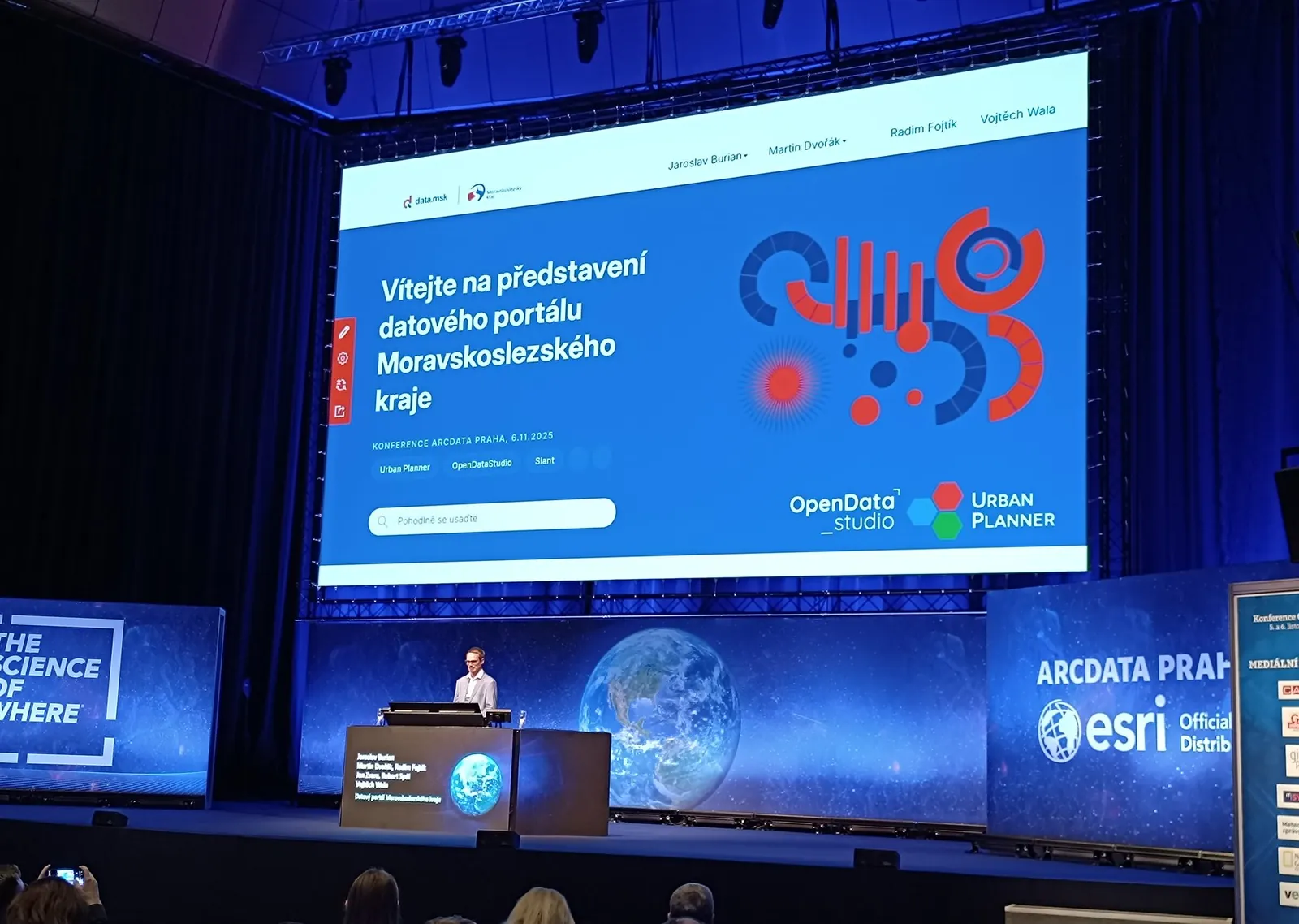
- Moravian-Silesian Region
- Vysočina Region
- City of Brno
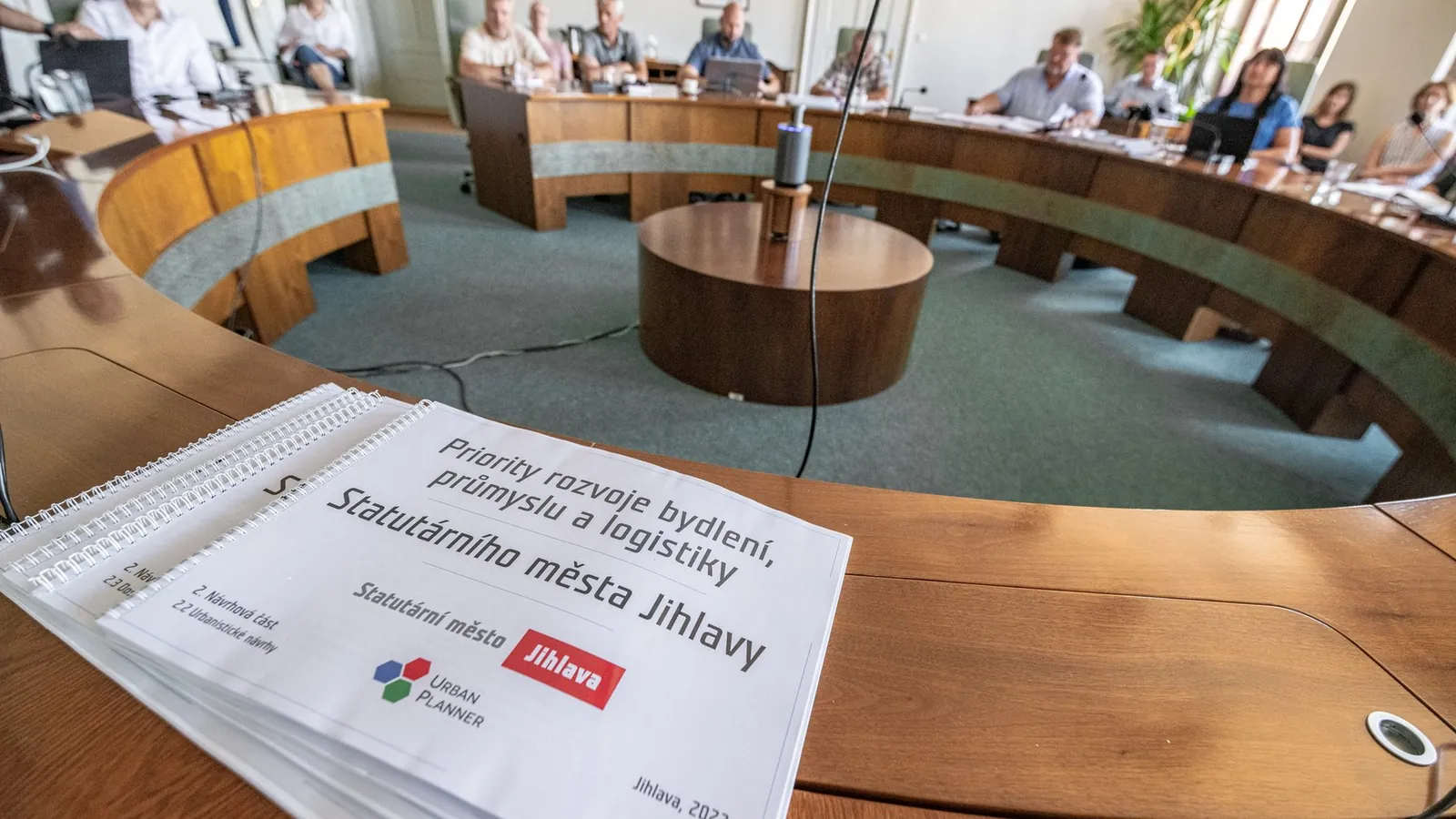
- City of Jihlava
- City of Zlín
- City of Olomouc
- Town of Kadaň
- Town of Kolín
- Town of Znojmo
- Metropolitan Institute of Bratislava
- Healthy Cities of the Czech Republic
Partners
On larger projects we work with other specialists: the Department of Geoinformatics at Palacký University on the Atlas of the Moravian-Silesian Region, OpenDataStudio and Slant on the regional data portal, and architects on urban design proposals for Jihlava.
Urban planner Ing. arch. Ivo Motl helps us with spatial planning analytical documents (ÚAP) and with mapping vacant plots for land potential assessments.
Since 2023 we have been assessing the land potential of towns as a subcontractor to FUTURAinvest, s.r.o.
Award
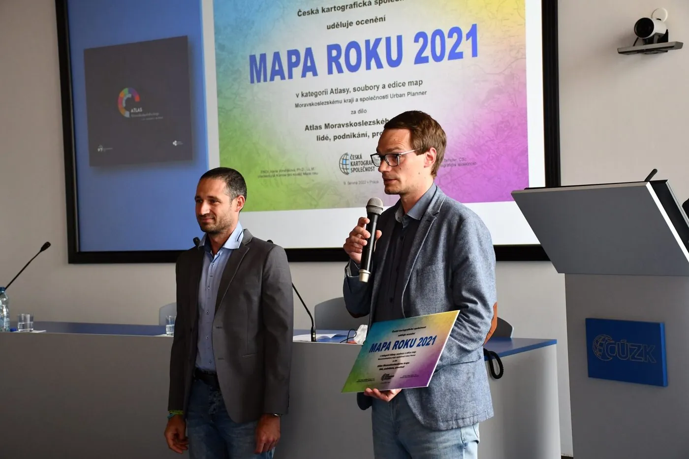
Czech Map of the Year 2021 in the Atlases, Map Series and Editions category for the Atlas of the Moravian-Silesian Region.
Company details
- info@urbanplanner.cz
- Jaroslav Burian
- +420 724 712 953
- Stanislav Šťastný
- +420 602 589 987