

Atlas of the Moravian-Silesian Region
A thematic atlas of the region with 111 maps and 93 charts, Czech Map of the Year 2021.
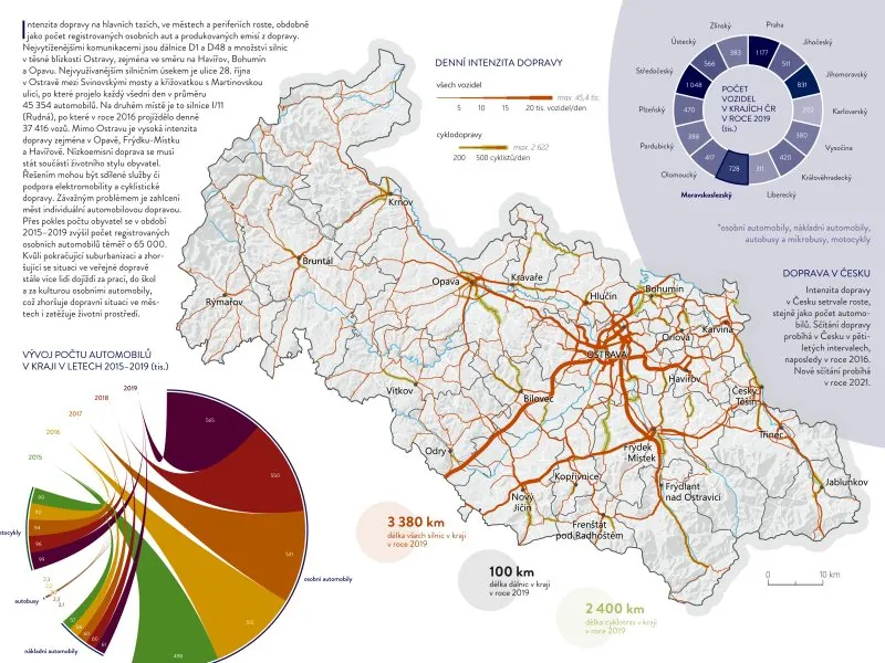
We produced the atlas together with the Department of Geoinformatics at Palacký University. It has eight chapters, 111 maps, 93 charts and diagrams, 74 tables, 12 schemes and 119 photographs and logos. Besides the usual topics it covers road accidents, crime and technical infrastructure, which required less accessible data.
The digital edition came out in early 2021 and the printed one at the end of the year, later reprinted. The jury awarded it Czech Map of the Year 2021 in the Atlases, Map Series and Editions category. We updated the atlas in 2023. Its data are on the regional data portal.
More projects
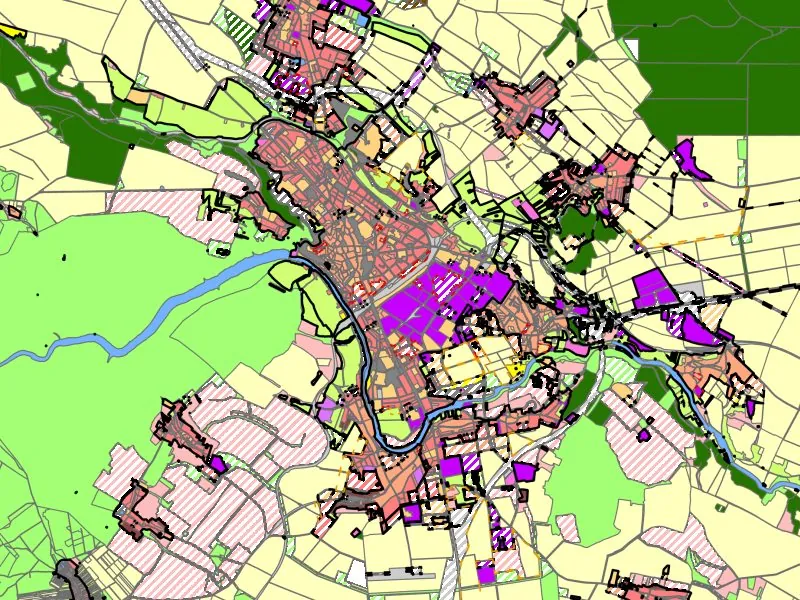
Land-use Plans of the Znojmo District
Municipal land-use plans converted into the ÚAP data model, historic settlement mapping and a data export tool.
More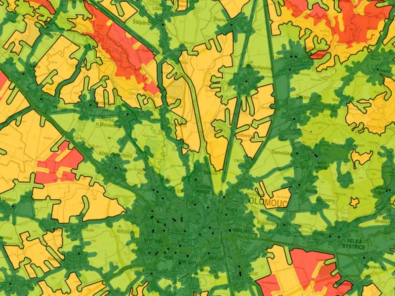
Access to Public Infrastructure in the Olomouc Region
Access to public infrastructure according to the Maier (2016) standards, including 24 newly digitised datasets.
More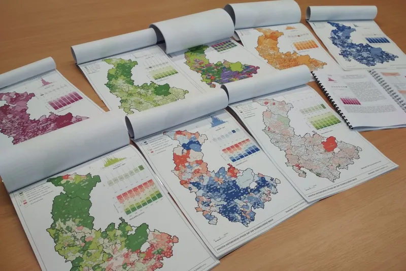
Spatial Planning Analysis for the Olomouc Region
Annual analysis of sustainable territorial development, symbology, maps and analyses for the region's ÚAP.
More