

Access to Public Infrastructure in the Olomouc Region
Access to public infrastructure according to the Maier (2016) standards, including 24 newly digitised datasets.
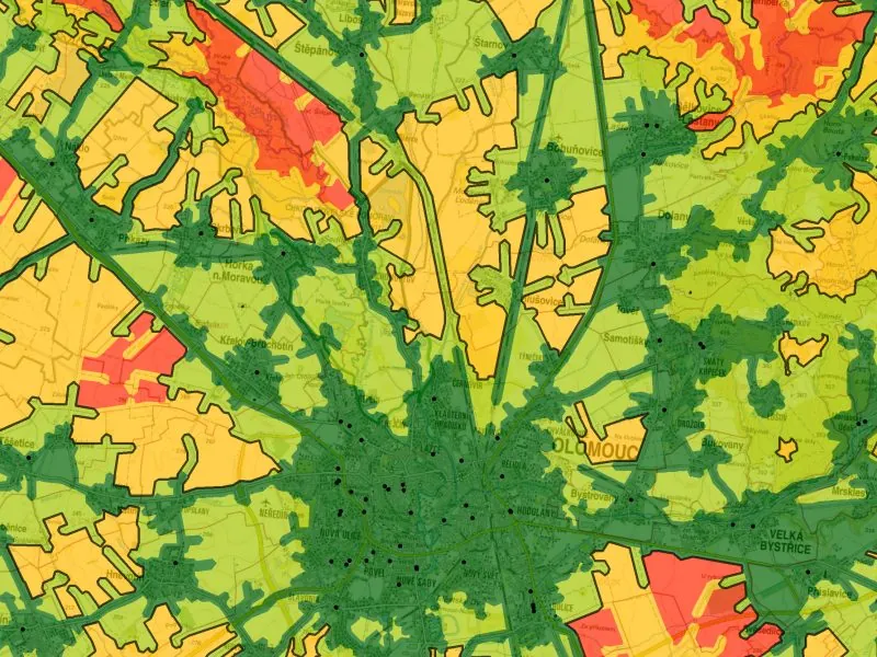
Accessibility was calculated using the Public Infrastructure Accessibility Standards (Maier, 2016). First the facility data had to be created: we geocoded addresses from official registers and checked each location against aerial imagery, producing 24 datasets.
Network analysis used the CEDA StreetNet road network, with average car speeds from HERE data, and public transport timetables from the KIDSOK database.
More projects
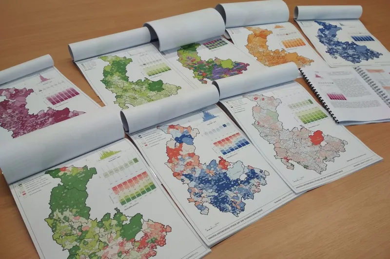
Spatial Planning Analysis for the Olomouc Region
Annual analysis of sustainable territorial development, symbology, maps and analyses for the region's ÚAP.
More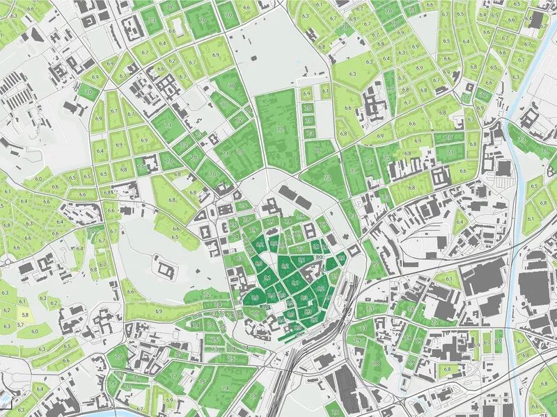
Spatial Development Vision for the Brno Metropolitan Area
Development potential of every municipality in the Brno Metropolitan Area, as groundwork for its spatial development vision.
More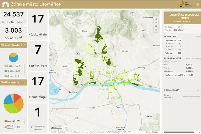
Dashboards for Healthy Cities
City data dashboards for Litoměřice, Břeclav and Kopřivnice.
More