
Spatial Planning Analysis for the Olomouc Region
Annual analysis of sustainable territorial development, symbology, maps and analyses for the region's ÚAP.
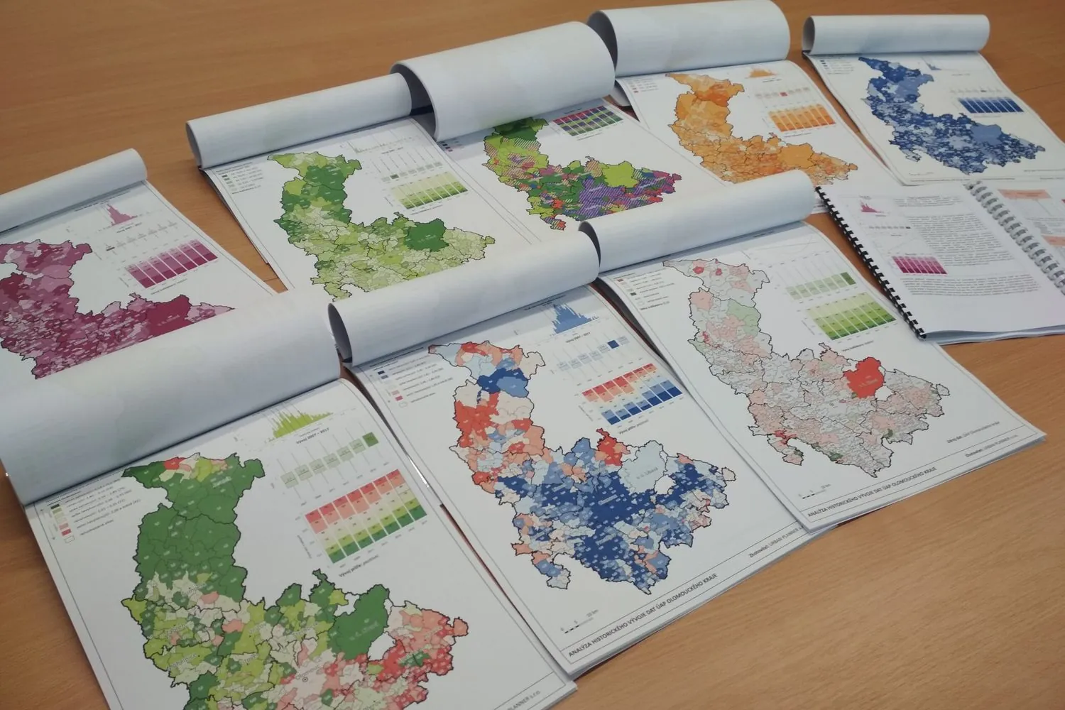
In 2016 we updated the method for the region's analysis of sustainable territorial development (RURÚ) and have prepared the analysis every year since, including the assessment of balanced territorial conditions. The work also included Urban Planner potential calculations for all basic land-use categories across the region.
We also maintain the region's ÚAP symbology (about 500 symbols) and prepare maps of values, constraints and planned changes. Over the years we added digitised built-up area boundaries (2017), an analysis of ÚAP development 2007–2017, a review of land-use plans with regard to renewable energy (2021) and a delineation of historic settlement structure (2023).
More projects
Spatial Development Vision for the Brno Metropolitan Area
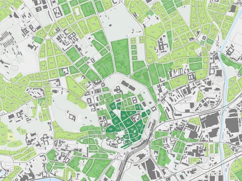
Development potential of every municipality in the Brno Metropolitan Area, as groundwork for its spatial development vision.
More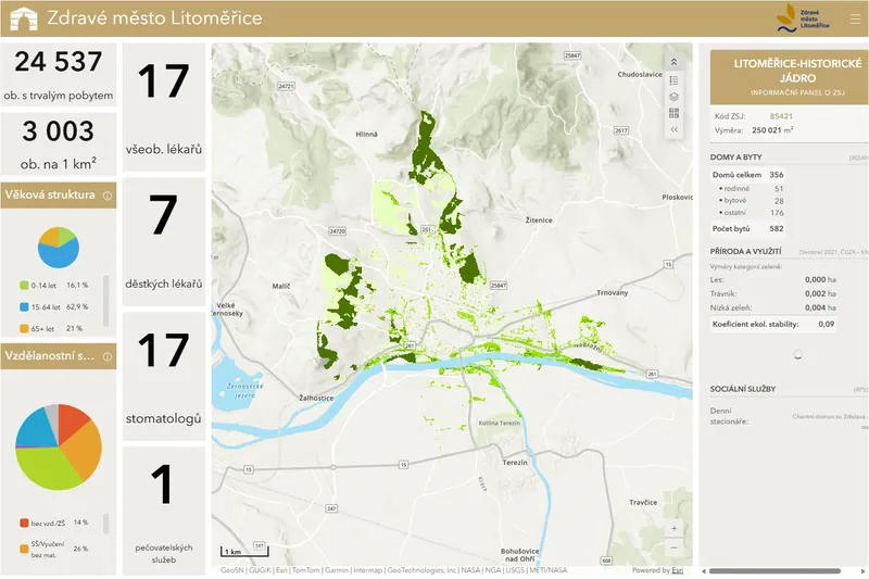
Dashboards for Healthy Cities
City data dashboards for Litoměřice, Břeclav and Kopřivnice.
More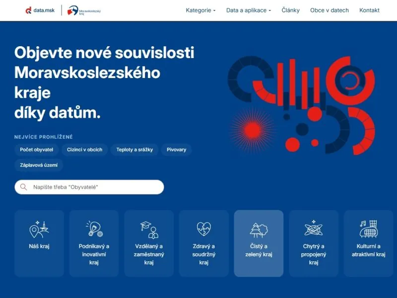
Moravian-Silesian Region Data Portal
The region's open data portal built on ArcGIS Hub, with datasets from the regional atlas and municipal profiles.
More