

Land-use Plans of the Znojmo District
Municipal land-use plans converted into the ÚAP data model, historic settlement mapping and a data export tool.
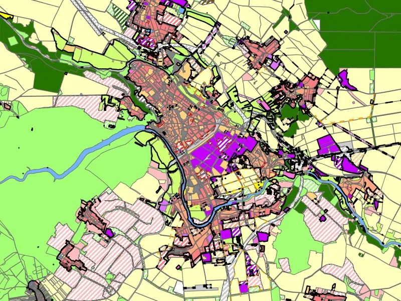
For the update of the district's spatial planning analysis and in line with the INSPIRE directive, we converted the valid municipal land-use plans into layers of land-use zones, built-up areas, development and redevelopment sites and landscape changes in the South Moravian Region's ÚAP data model 5.0. Zoning regulations are linked to the zones as text files.
Using the 19th-century imperial cadastral maps we delineated historic village cores and preserved historic buildings outside them. For the town we wrote a Python tool for ArcGIS Pro that exports planning data for selected municipalities or a drawn area as SHP, DGN or DWG.
More projects
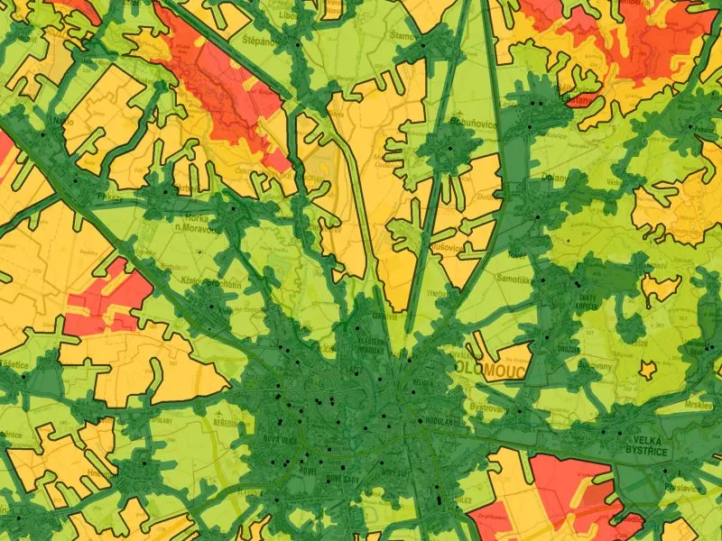
Access to Public Infrastructure in the Olomouc Region
Access to public infrastructure according to the Maier (2016) standards, including 24 newly digitised datasets.
More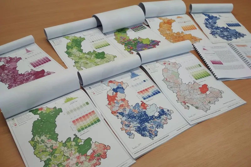
Spatial Planning Analysis for the Olomouc Region
Annual analysis of sustainable territorial development, symbology, maps and analyses for the region's ÚAP.
More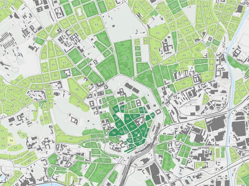
Spatial Development Vision for the Brno Metropolitan Area
Development potential of every municipality in the Brno Metropolitan Area, as groundwork for its spatial development vision.
More