

Projects for public administration, especially in spatial planning, data processing and visualisation.


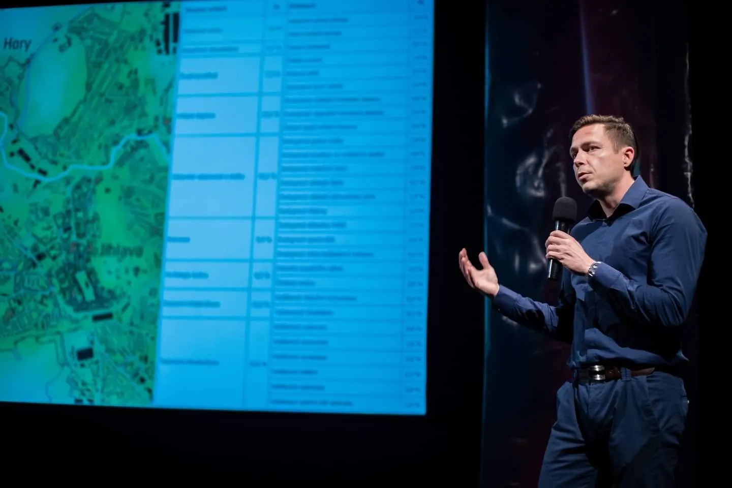
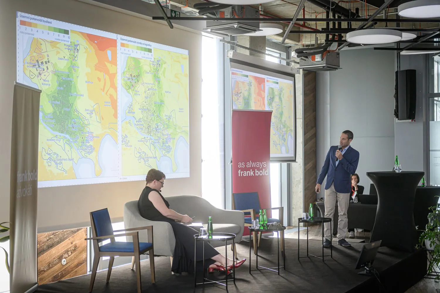
Project map
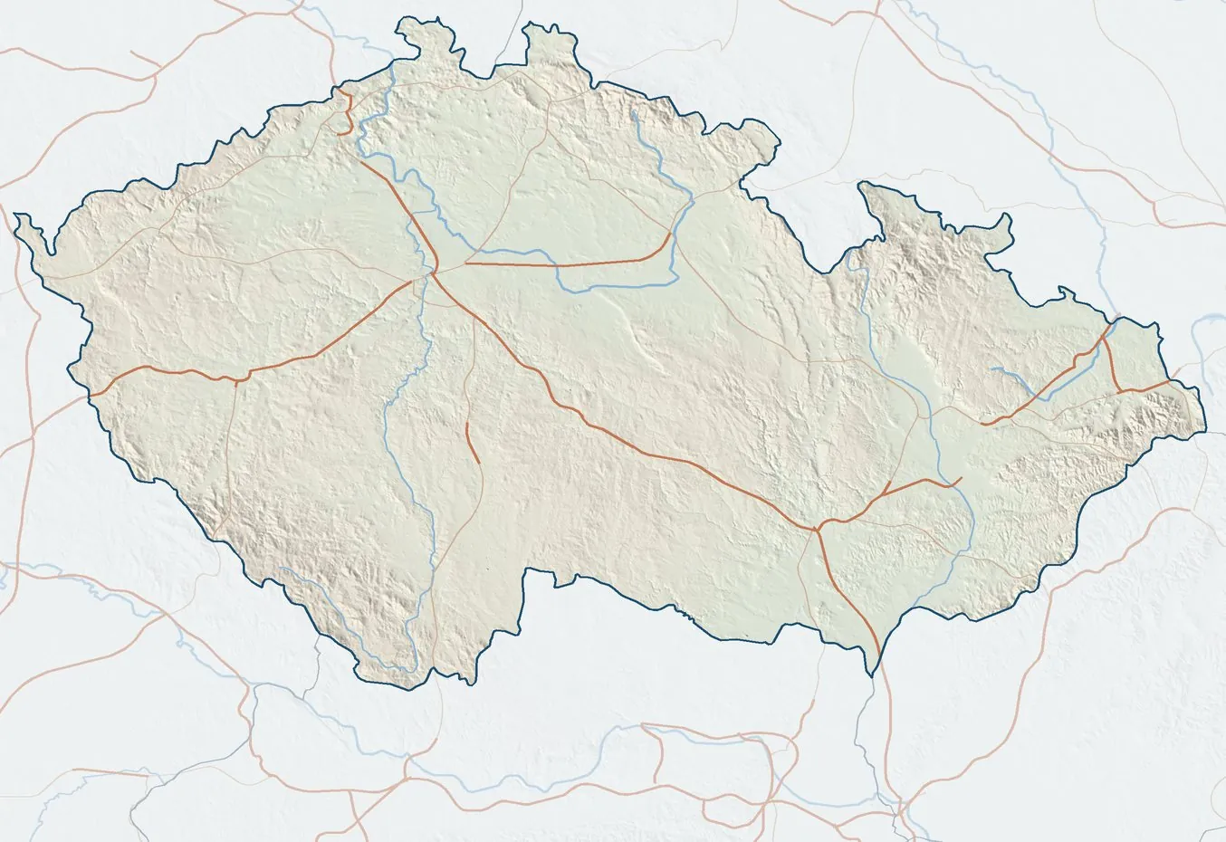
31 places, 42 projectsClick a coloured cell to see what we did in that place, with links to the web maps. Many of the apps are in Czech only.
Services
Land potential and urban economics
Assessment of land suitability through multi-criteria land potential analysis. Delineation of infill plots and economic assessment of sites for development.
Spatial planning analytical documents
Full updates of spatial planning analytical documents (ÚAP). Analysis of sustainable territorial development, municipal fact sheets and drawings.
Accessibility of public infrastructure
Time and distance analyses of transport accessibility. Delineation of catchment areas. Assessment for all modes of transport.
Web map applications
Web map applications, dashboards and story maps built on Esri technology.
Atlases and data portals
Advanced map products and atlases in digital and printed form.
GIS software training
Professional training and consulting in GIS and cartography.
Projects
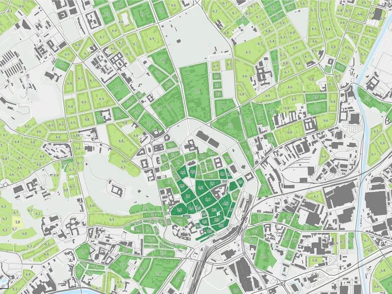
Spatial Development Vision for the Brno Metropolitan Area
Development potential of every municipality in the Brno Metropolitan Area, as groundwork for its spatial development vision.
More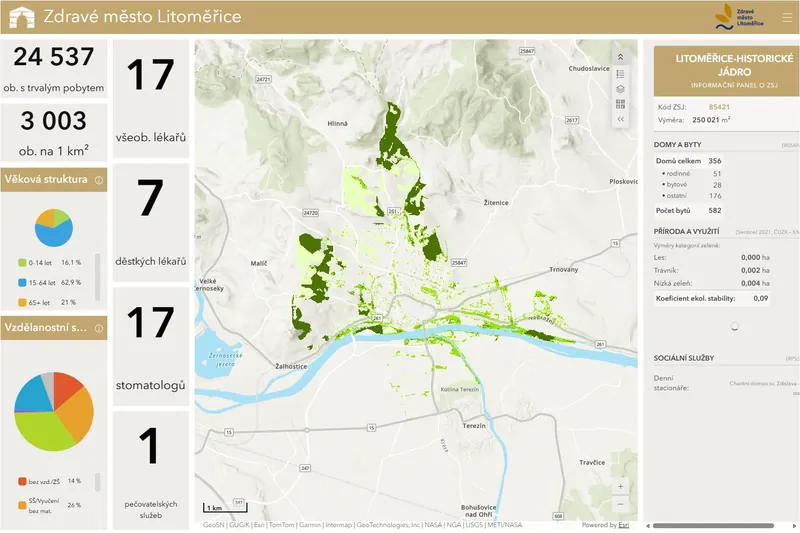
Dashboards for Healthy Cities
City data dashboards for Litoměřice, Břeclav and Kopřivnice.
More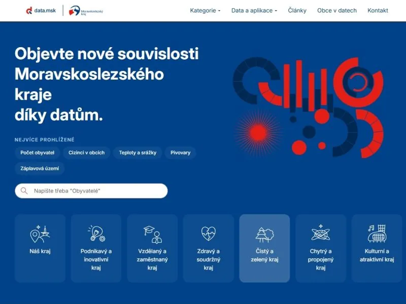
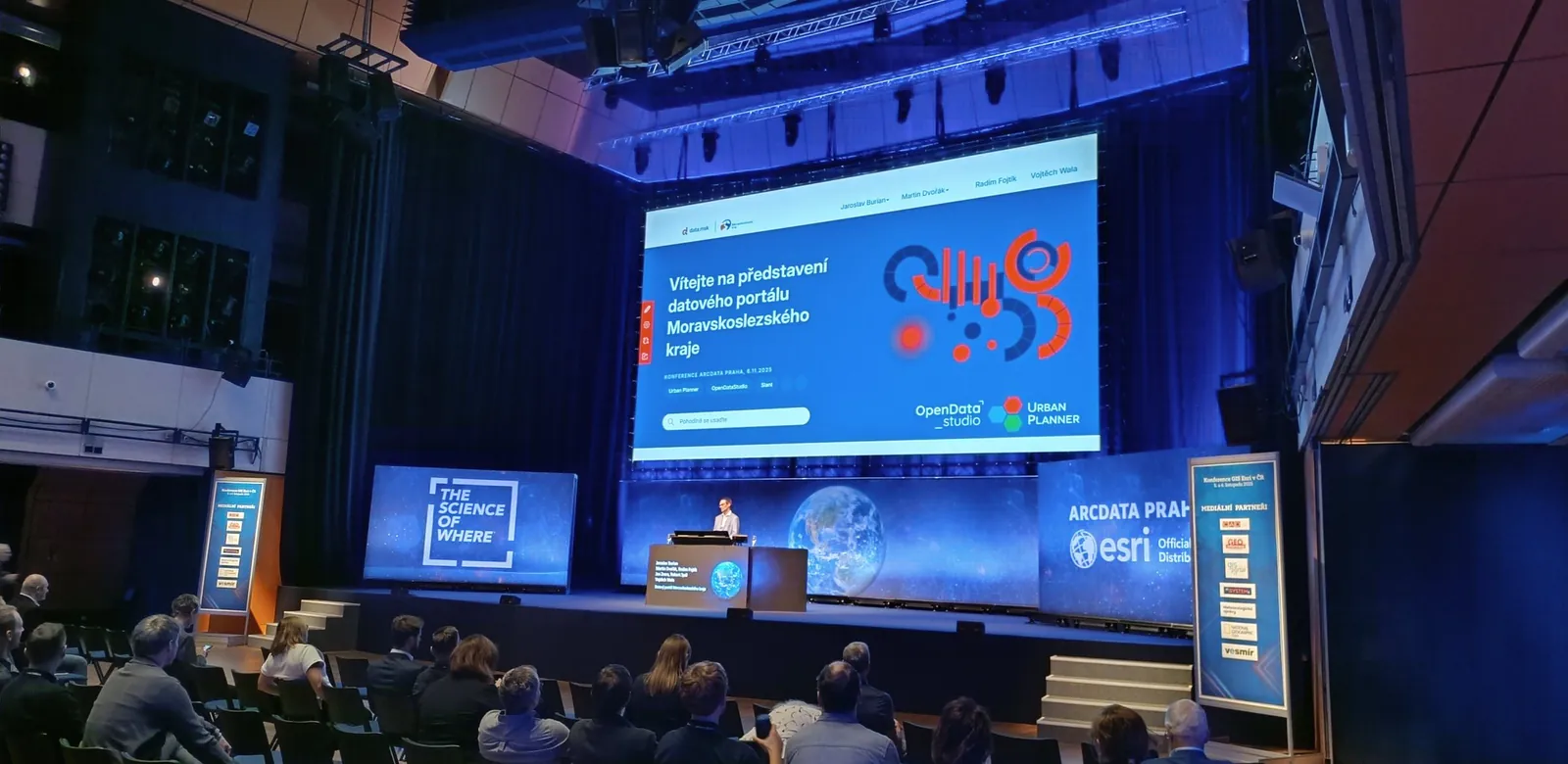
Moravian-Silesian Region Data Portal
The region's open data portal built on ArcGIS Hub, with datasets from the regional atlas and municipal profiles.
More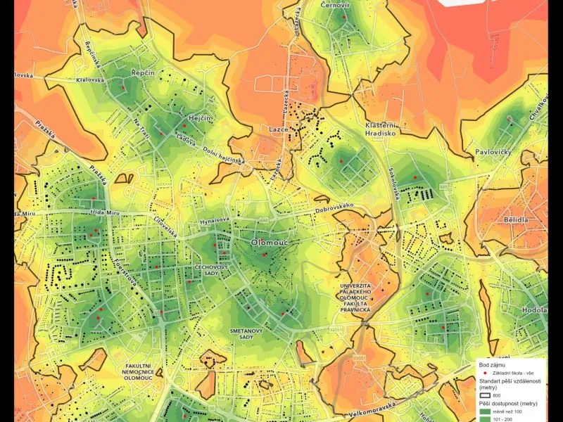
Transport Accessibility Analysis for the Olomouc Region
Accessibility of 20 types of public services on foot, by public transport and by car across the whole region.
More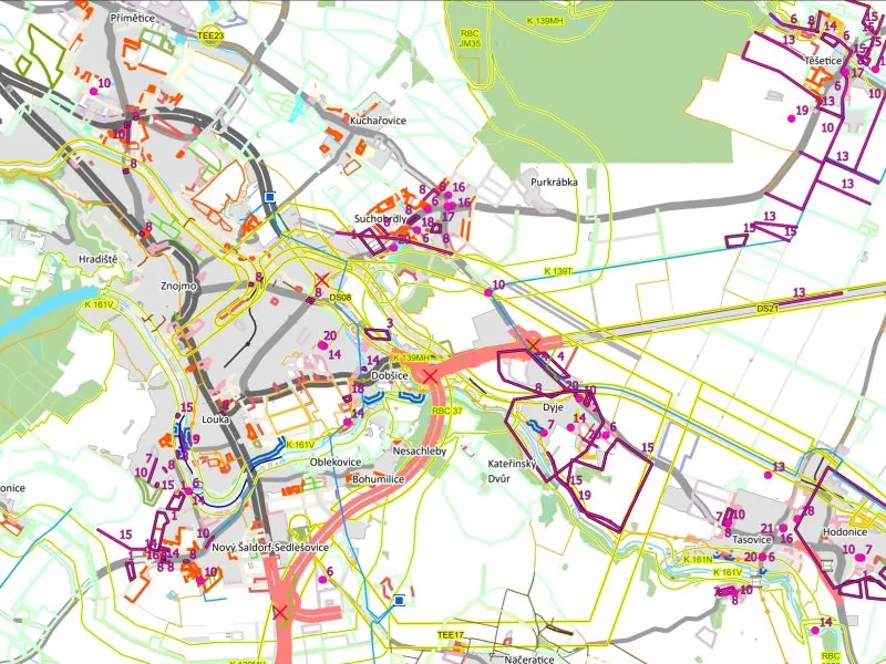
Spatial Planning Analysis for the Znojmo District
A full update of the Znojmo district's spatial planning analysis (ÚAP), with a map-based survey and municipal dashboards.
More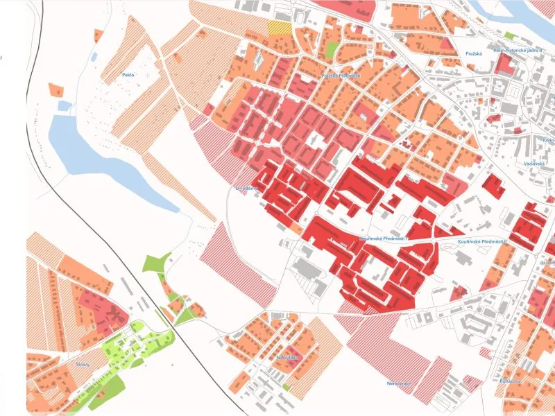
Land Potential of Kolín
Baseline analysis, land potential and development recommendations for Kolín.
More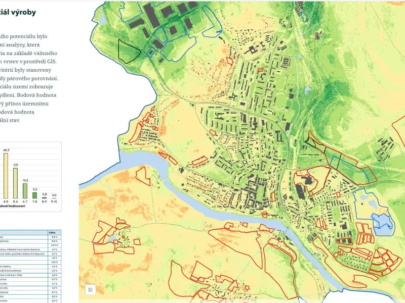
Land Potential of Kadaň
Baseline, potential and economics of development sites, with recommendations for Kadaň.
More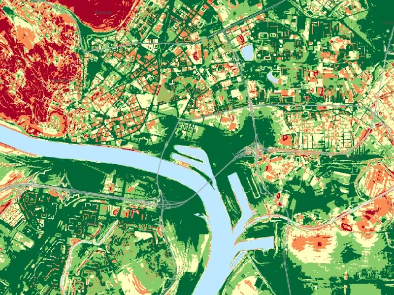
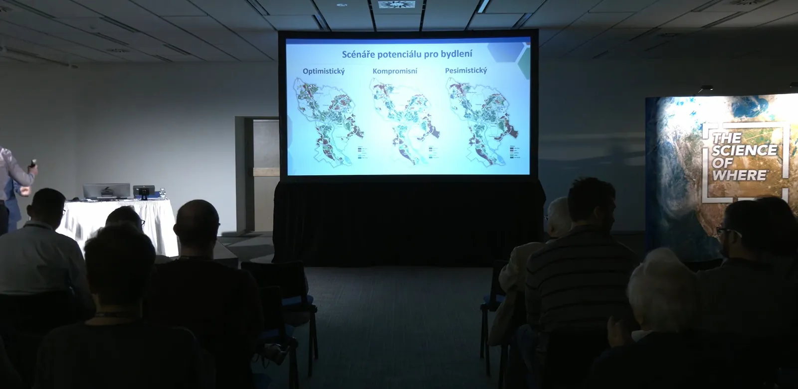
Land Potential of Bratislava
Potential for five land uses across the whole of Bratislava, in three development scenarios.
More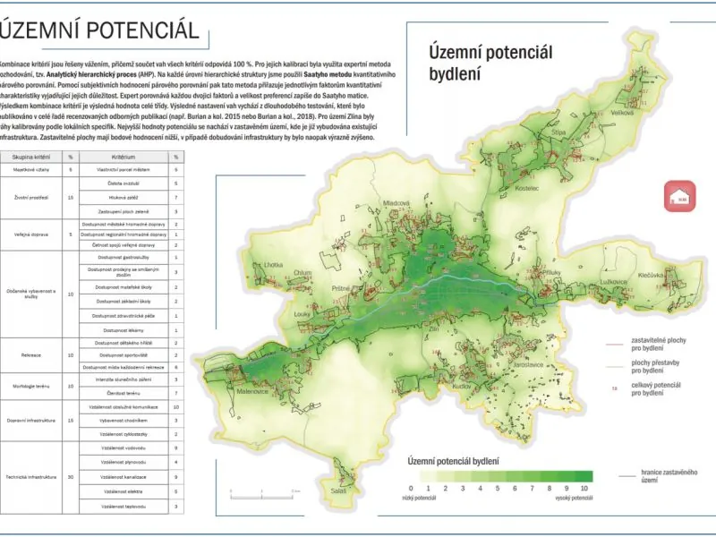
Land Potential of Zlín
Assessment of all development and redevelopment sites to help the city set its priorities.
More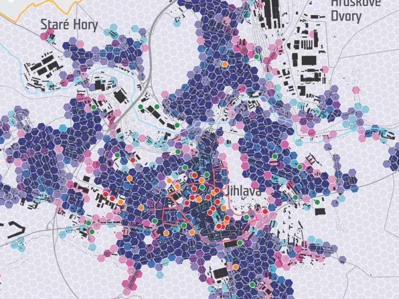
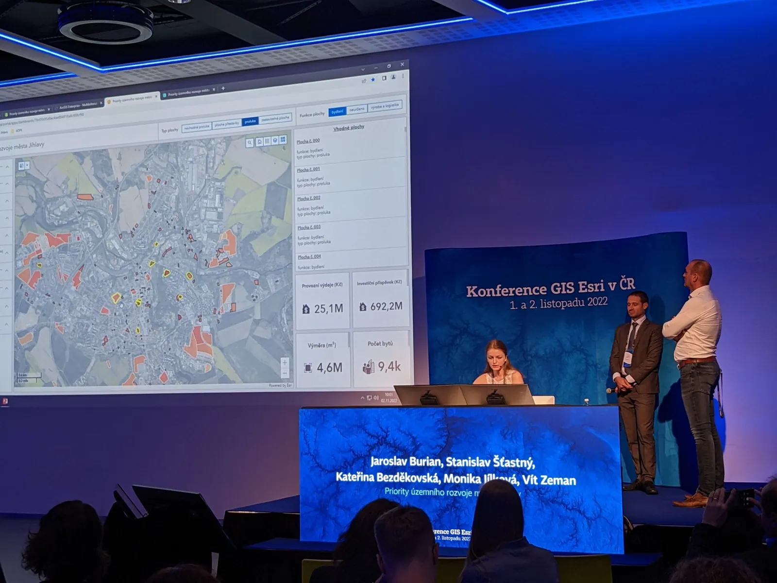
Development Priorities for Jihlava
624 infill sites, urban design proposals, access to services and the 50-year budget impact of new development.
More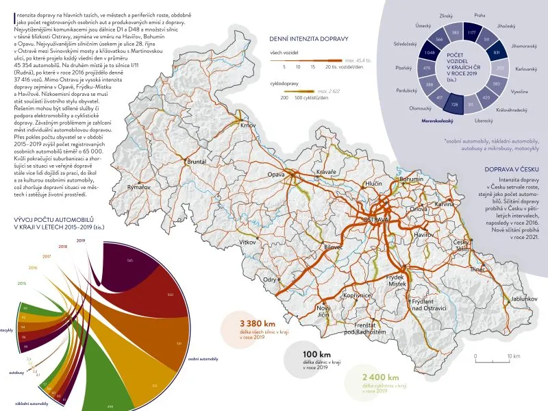
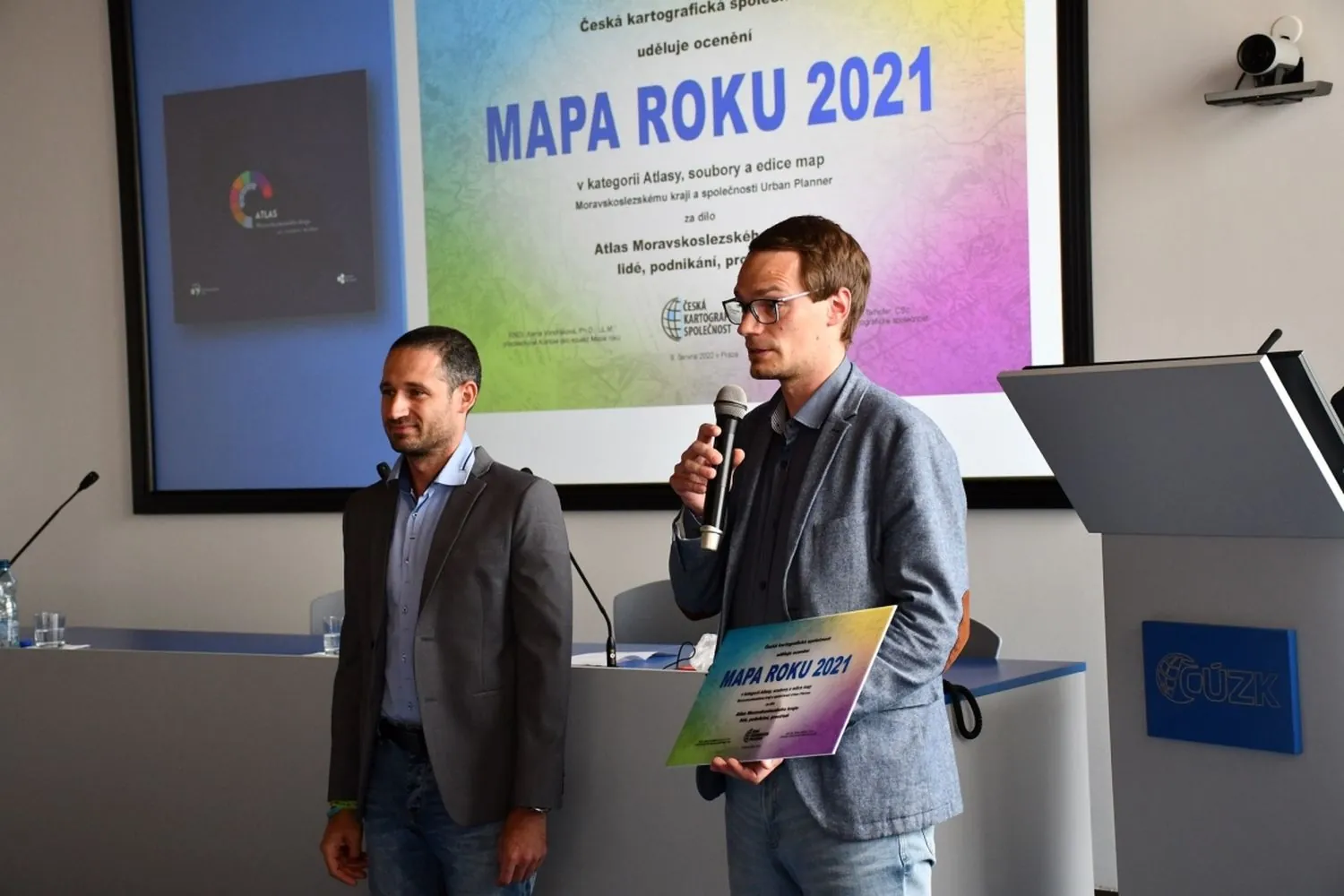
Atlas of the Moravian-Silesian Region
A thematic atlas of the region with 111 maps and 93 charts, Czech Map of the Year 2021.
More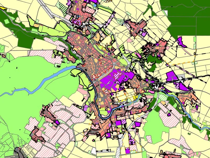
Land-use Plans of the Znojmo District
Municipal land-use plans converted into the ÚAP data model, historic settlement mapping and a data export tool.
More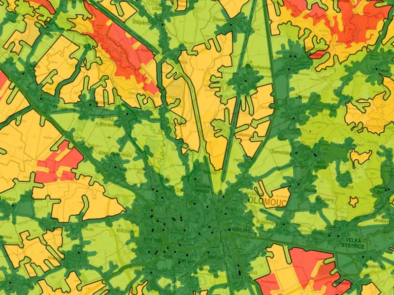
Access to Public Infrastructure in the Olomouc Region
Access to public infrastructure according to the Maier (2016) standards, including 24 newly digitised datasets.
More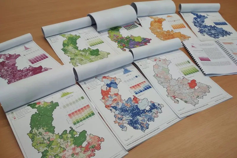
Spatial Planning Analysis for the Olomouc Region
Annual analysis of sustainable territorial development, symbology, maps and analyses for the region's ÚAP.
MoreContact

Assoc. Prof. Jaroslav Burian, Ph.D.
GIS specialist working on applications of geoinformatics in spatial planning and transport. Besides commercial work, he has been involved in research and teaching at Palacký University Olomouc for 18 years.

Stanislav Šťastný, RNDr.
GIS consultant with more than 15 years of experience, specialising in geoinformatics applied to spatial planning. He also works intensively on extending GIS products through programming.
Registered in the Commercial Register at the Regional Court in Ostrava, file C 62725
- info@urbanplanner.cz
- Jaroslav Burian
- +420 724 712 953
- Stanislav Šťastný
- +420 602 589 987